
St. Anns Bank Marine Protected Area
Protected Area Type: Les aires marines protégées

Emplacement: East of Cape Breton Island, Nova Scotia; Scotian Shelf Bioregion
Superficie approximative: 436,400 hectares
Date de désignation: 2017
Objectifs de conservation
To conserve and protect all major benthic (i.e., seabed), demersal (i.e., close to the sea floor) and pelagic (i.e., in the water column) habitats within the MPA, as well as areas of high biodiversity and biological productivity across all levels.
Interdictions
Activities that disturb, damage or remove living marine organisms or parts of their habitat are prohibited, unless given an exception.
Pourquoi (contexte environnemental pour la protection)
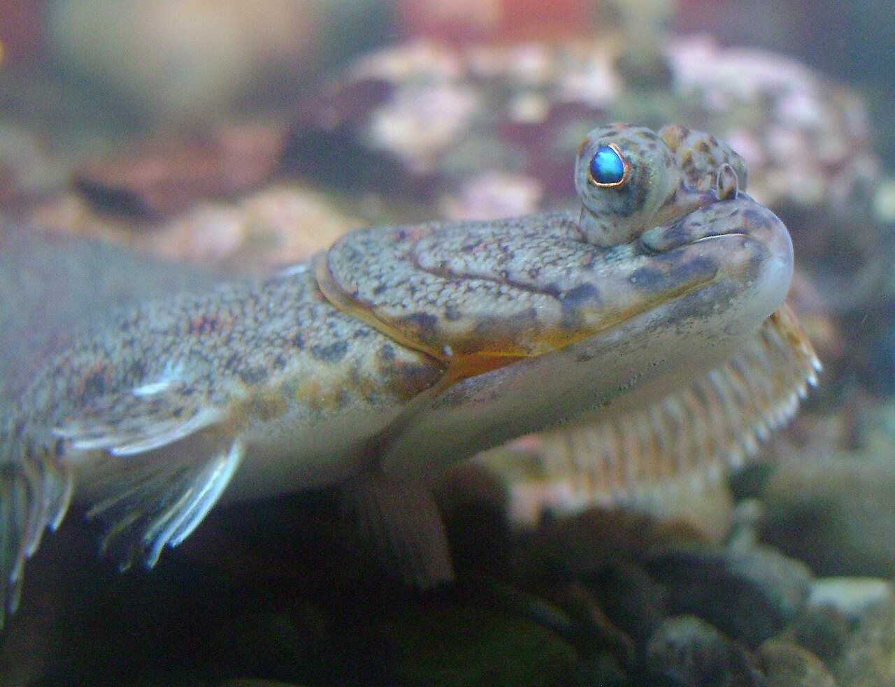
St. Anns Bank has the highest annual sea surface temperature range in the Scotian Shelf. Over 100 species live in this area including Atlantic cod, American plaice, leatherback turtles and a variety of sponges, corals and sea pens. The St. Anns Bank is also an important migration corridor for fish, whales and other marine mammals.